
Written by Matthew Tate
Saturday 8th Feb
Our second Saturday at Quest marked the first of many Epics to come. The challenge was set out as a hike, with various points to navigate through, however, it was also a race against the other groups.
In the morning, we were told to pack 'overnight bags', which had to include the following; our sleeping bags, water, lunch, suncream, jackets, and a few other miscellaneous items. The bags had to weigh at least 15kg, which is a lot for a day's hike!
Two boys per group were given their phones (with a GPS app) to navigate with, on which we plugged in the 8 different checkpoints. At 7am sharp, we headed out.
The first checkpoint was at the top of a hill called Devil's, at a small Reservoir. The hill isn't steep, and so it was good for most people to get used to the extra weight of their bags.
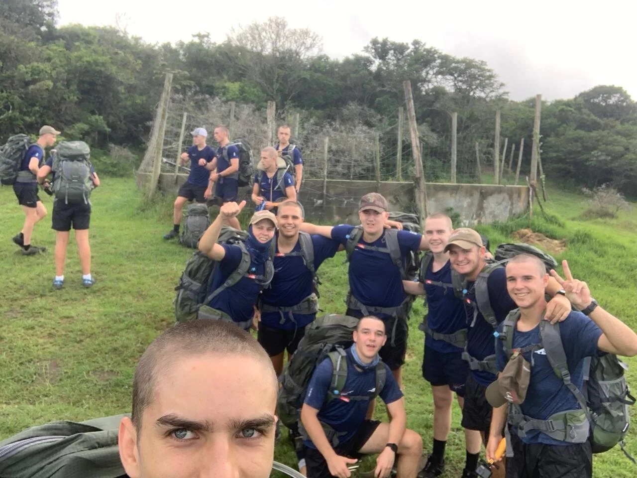
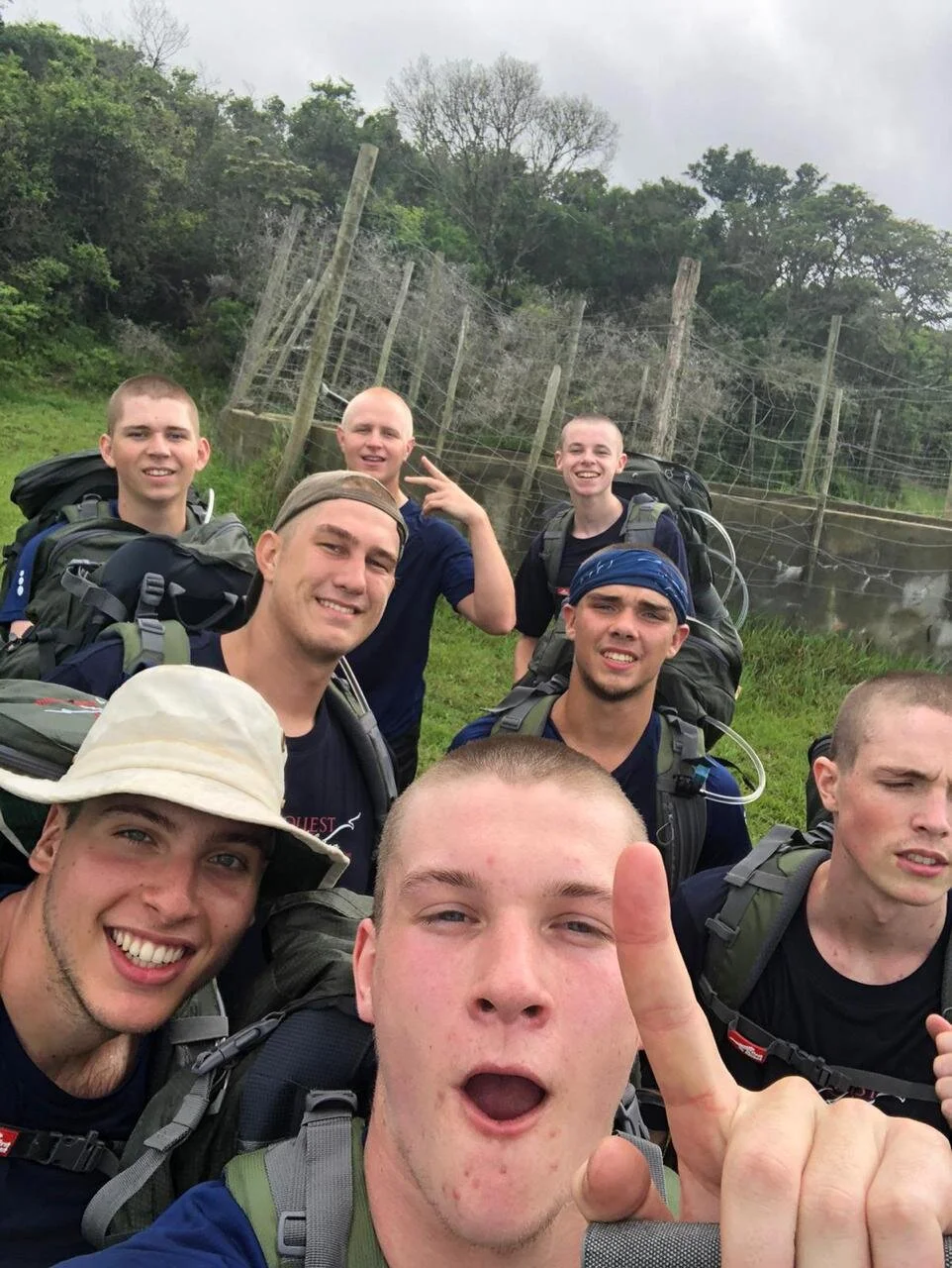
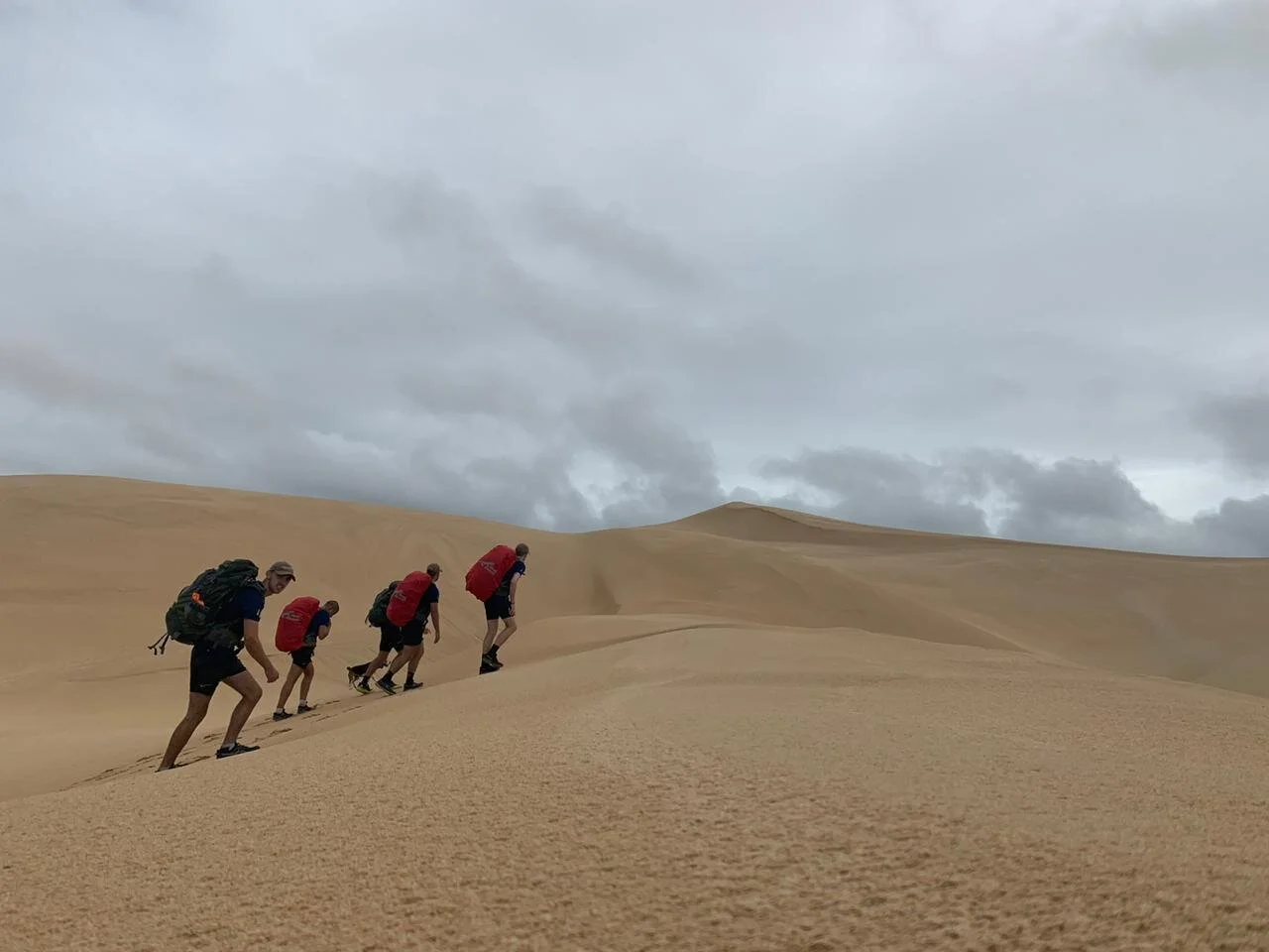
The second stop was at the top of a grown-over dune, aptly named WTF, which marks the entrance to the dune field. To get there, was a short trek through a forest, which again wasn't too challenging. The challenging part was the dune itself. 150m tall, and the path up is all soft sand. The angle, in addition to our bags, meant that we would occasionally have to crawl up on all-fours.
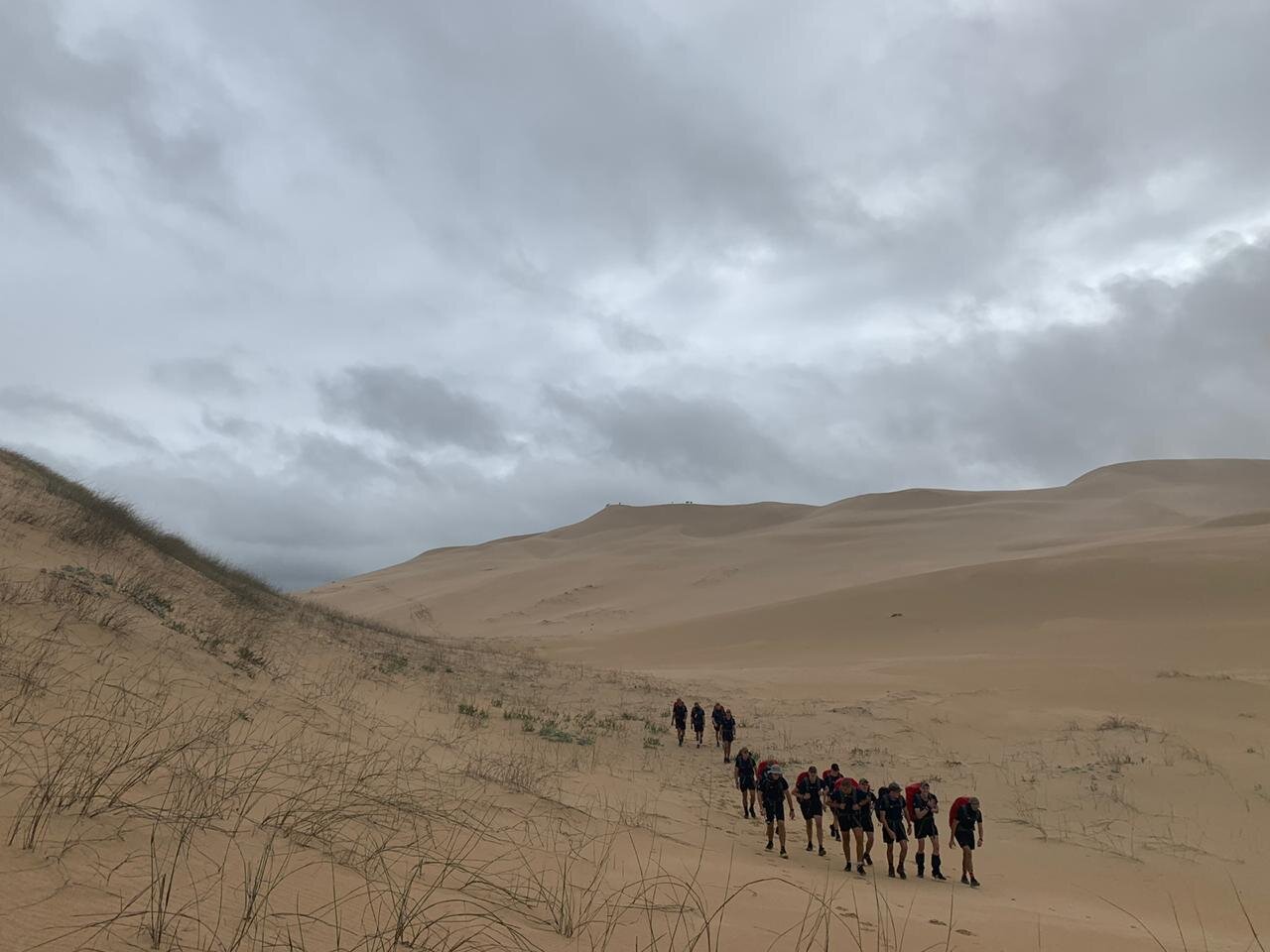
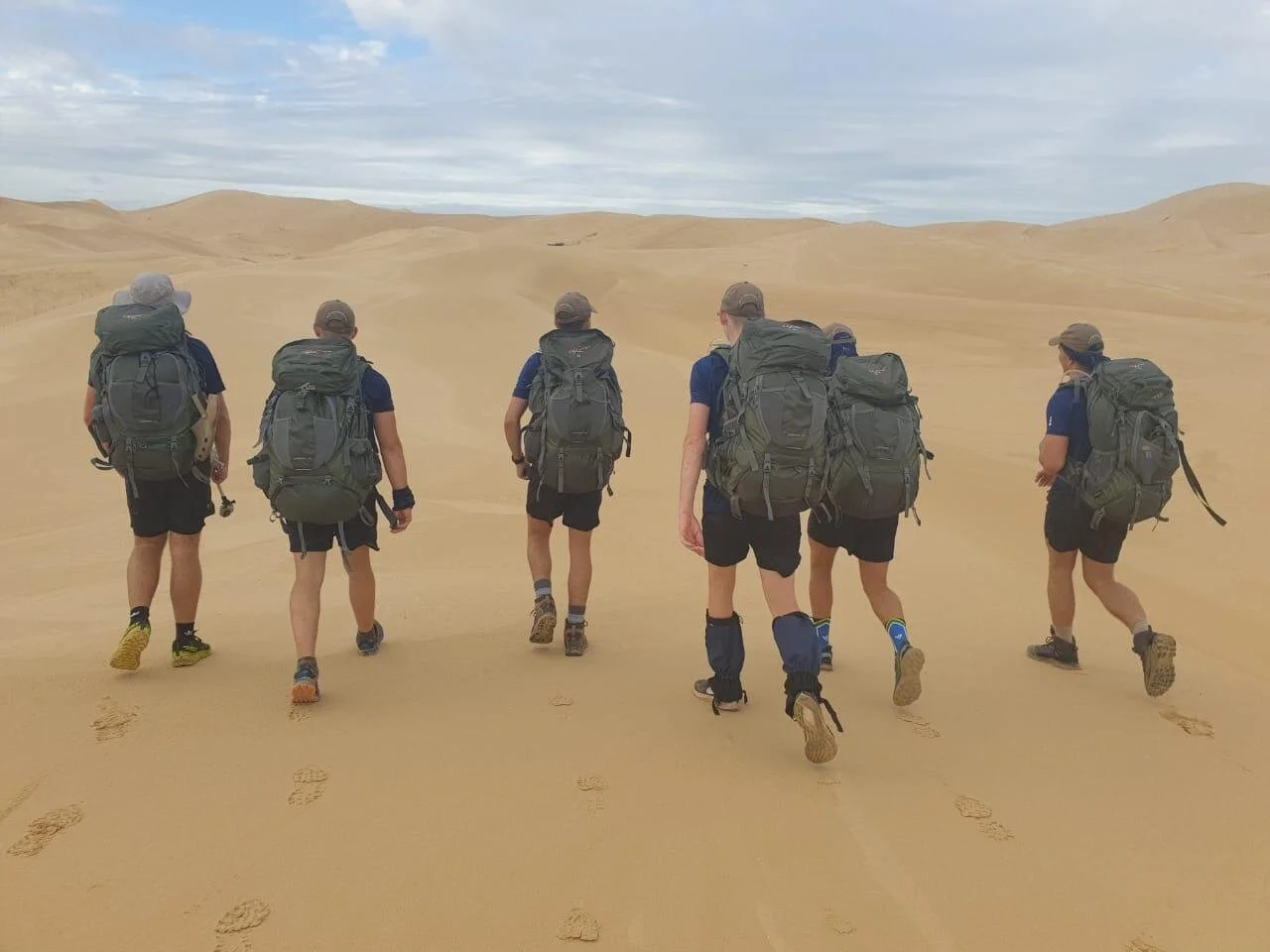
From WTF, it was time to head to the tallest dune in sight - Juliet. She stood around 3km away from WTF and is 100m taller, and grew ever-taller in our sights with each stride. Traversing the dunes takes a little planning, as it is best to stick to the ridges of dunes, as that's where the sand is the hardest. It also means there is less elevation change.
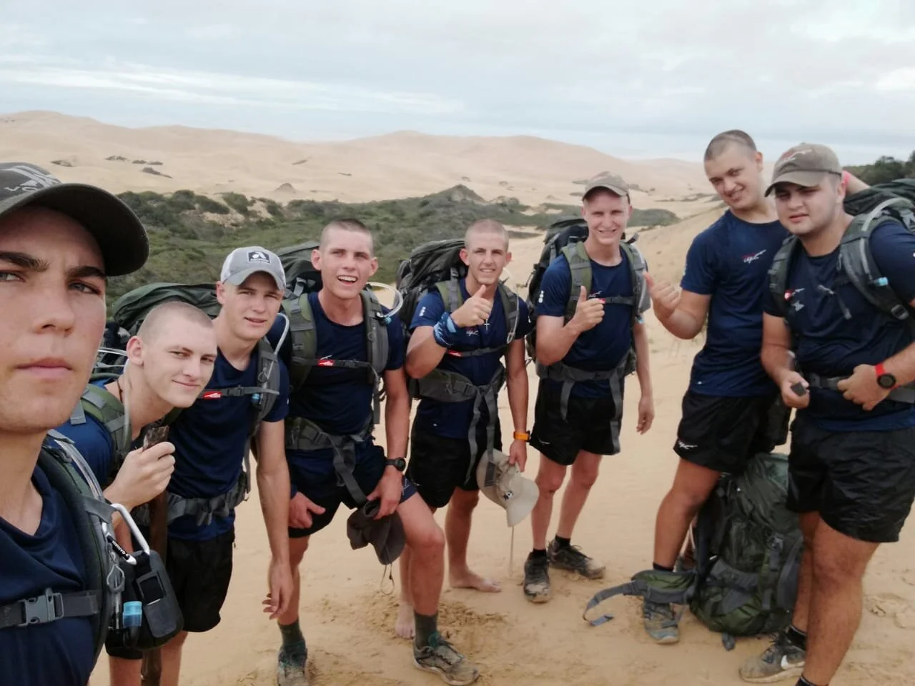
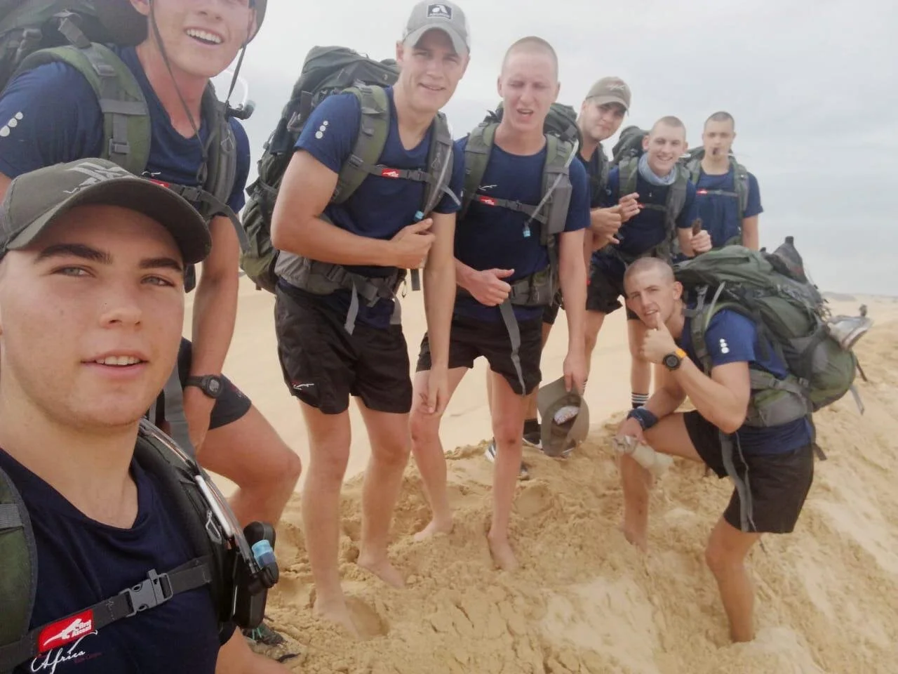
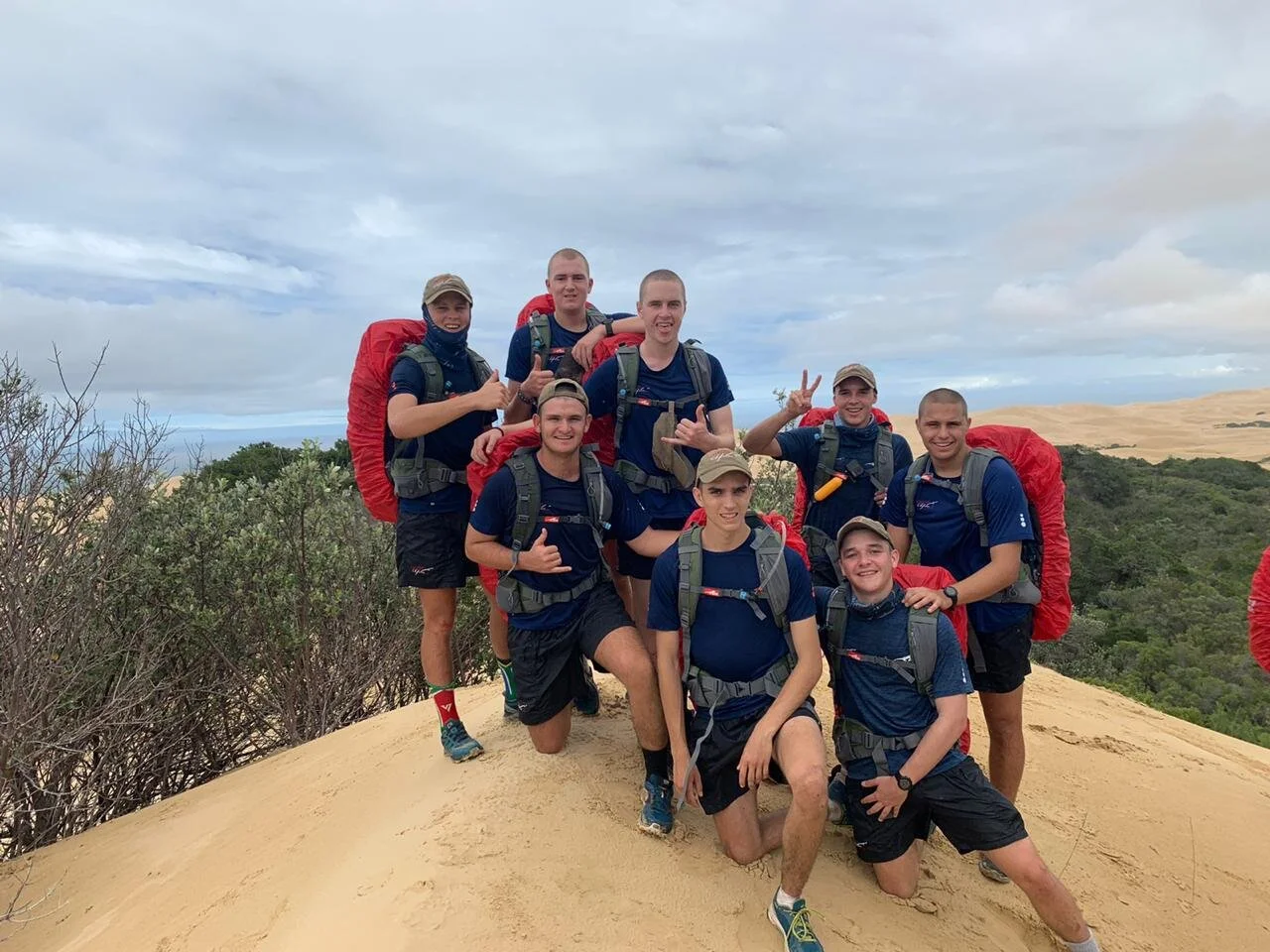
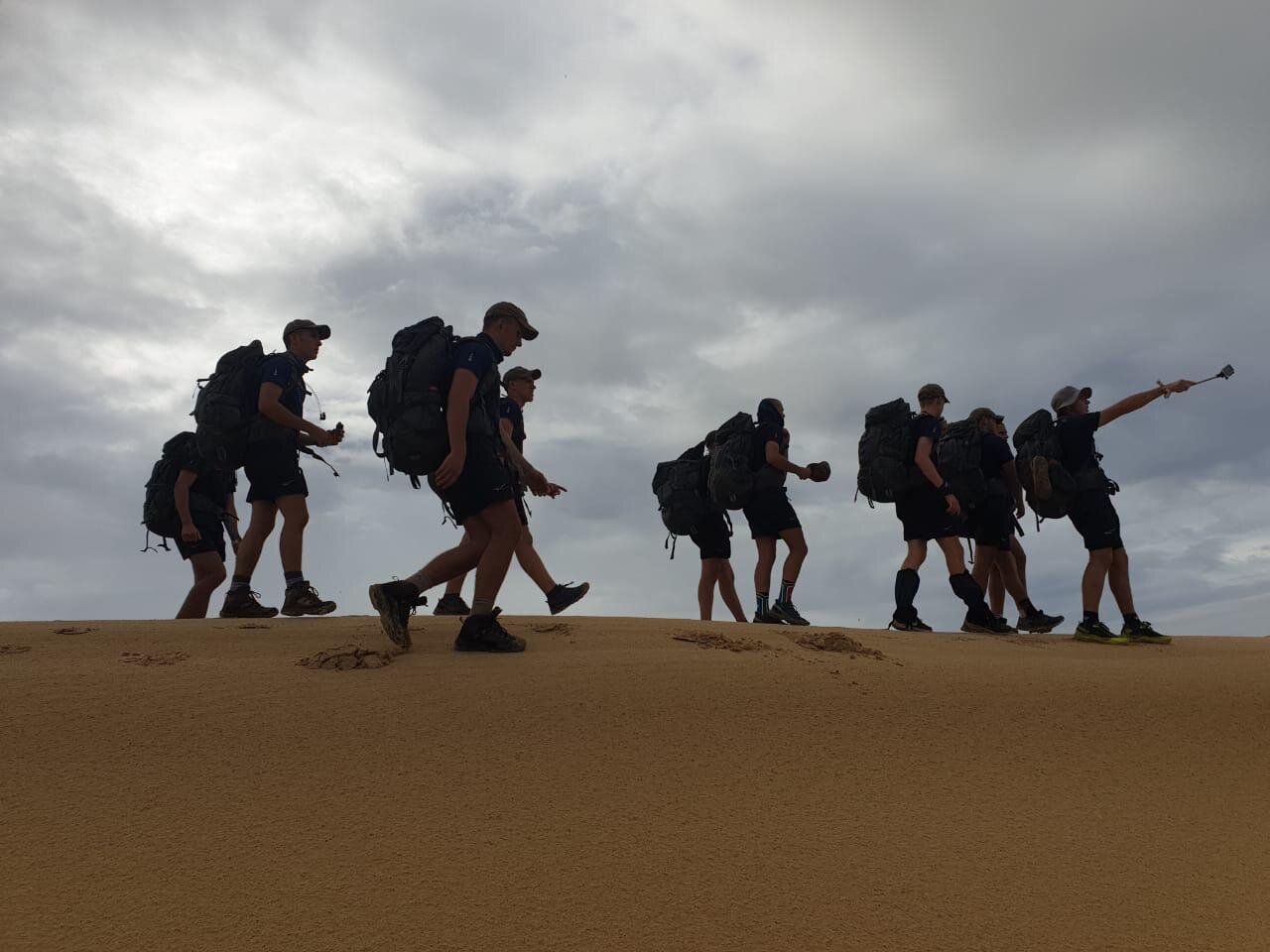
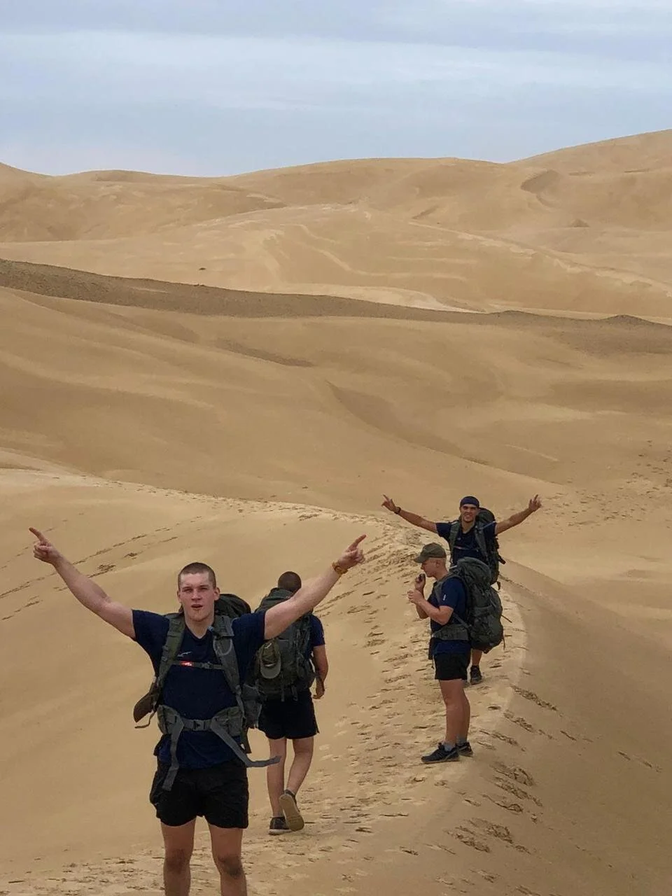
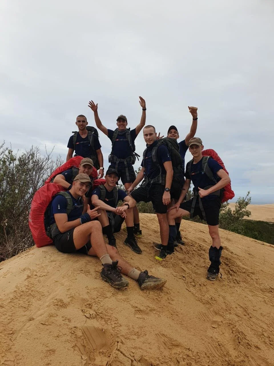
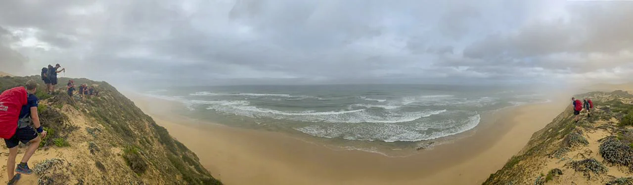
Next stop was The Beach, which marked the turnaround point of the adventure. Another 3km from Juliet, and at the bottom of a sandstone cliff. The difficult part was finding somewhere to traverse down safely. Eventually, at the marker, there was a slope heading down, instead of just the sheer drop. Here was where some boys decided to take a quick dip in the ocean and eat a quick snack (like the apple given to us for lunch), before heading back up to the next point.
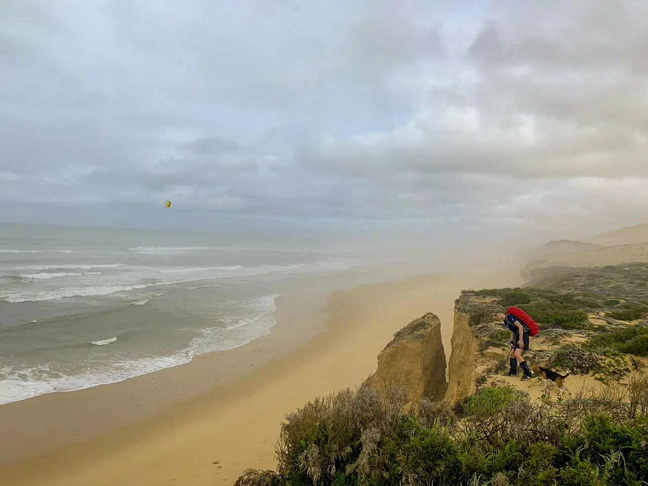
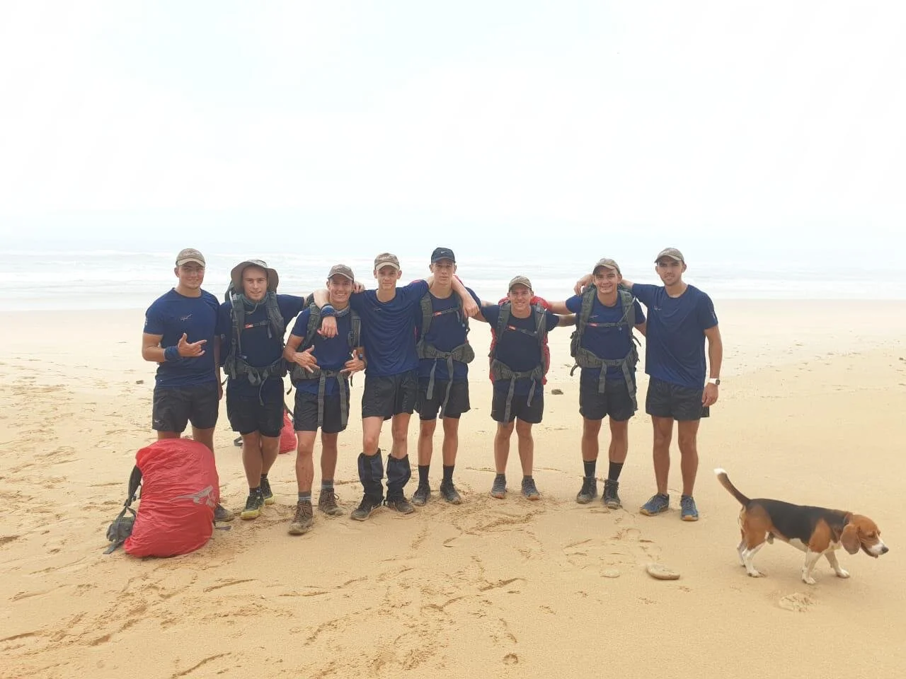
It was time to start heading out of the dunes, and the way out was over another dune called The Wall, which was similar to WTF, but the other way around: the steep side was heading out of the dunes, instead of into the dunes. Nothing too special about it, except everyone was starting to get sick of the sand and constant change in elevation.
On the other side of The Wall, was a short forest, with an overgrown - and evidently hardly used - path. It opened up into a field, which you traverse towards the Western Border Gate - the next point. The gate was locked which forced the boys to become creative and clamber, some more gracefully than others, over to the other side.
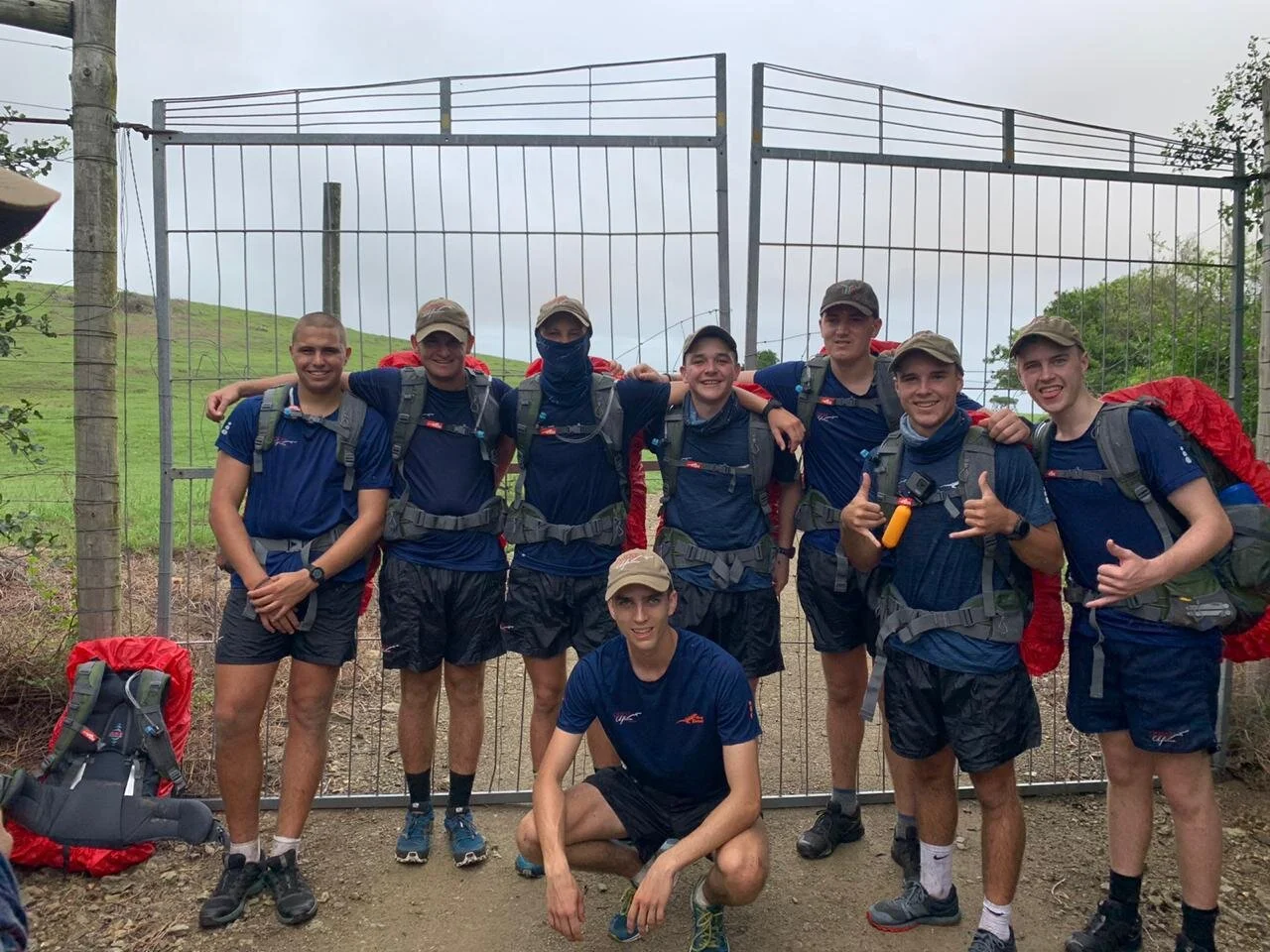
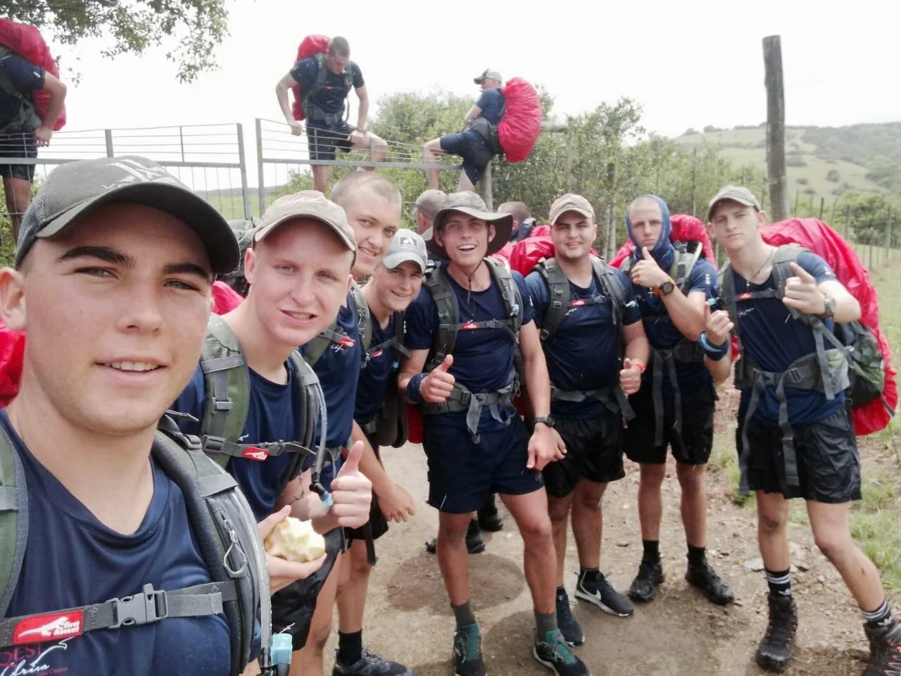
The 7th stop was at the top of a hill called Tortoise. It was long, but at least it was solid ground - grass! Some good views on the way up, but nothing technical. The last stop was probably one of the toughest, at least mentally. From Tortoise, the path followed the boundary fence down into a valley, called Zebra Valley, and then you had to work your way up a steep slope, all the way to the top of a hill called Buffalo Hill. It stood 300m tall, and felt even taller.
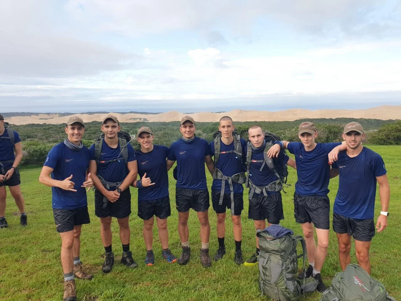
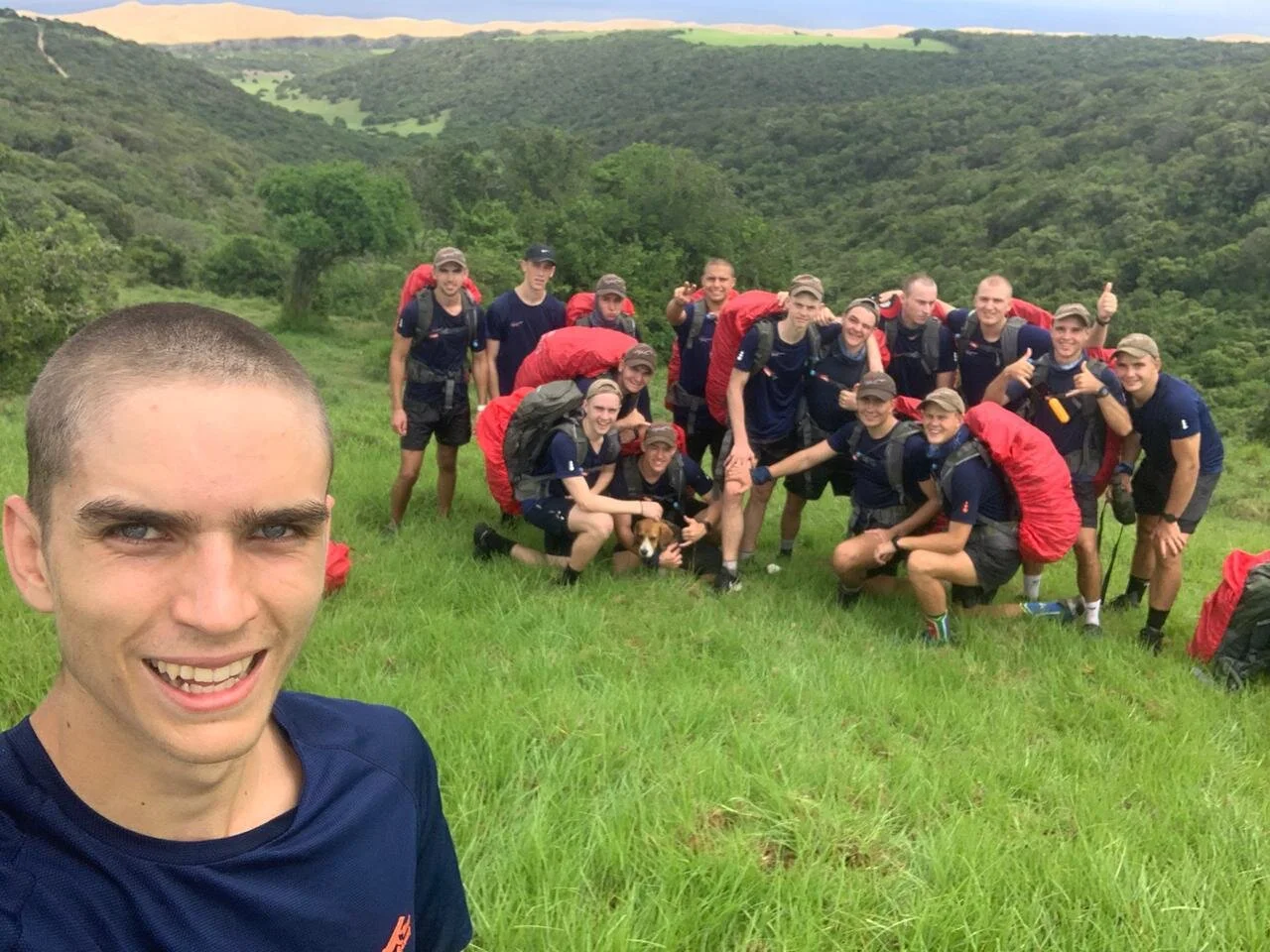
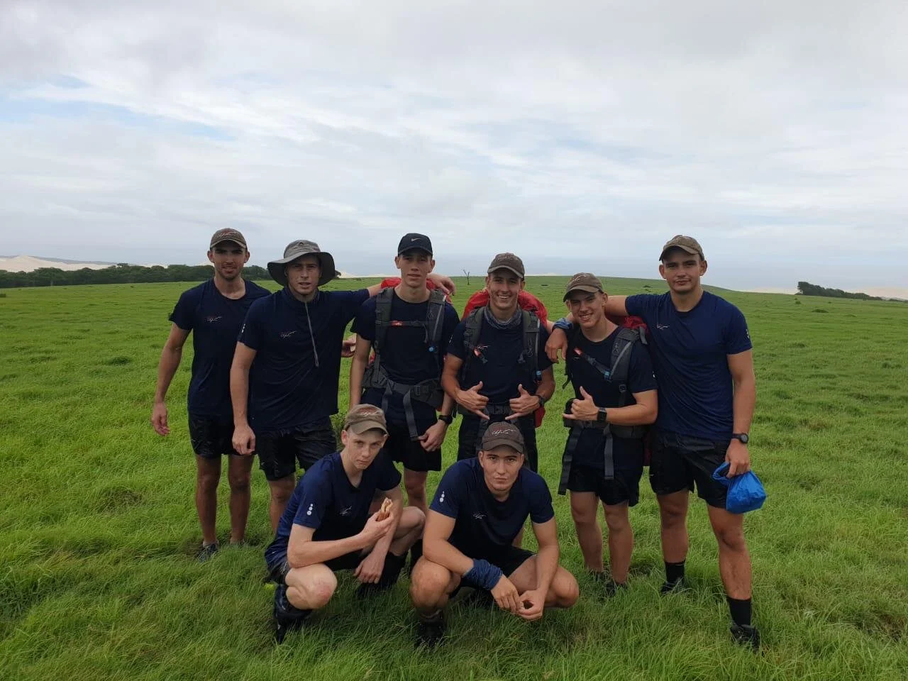
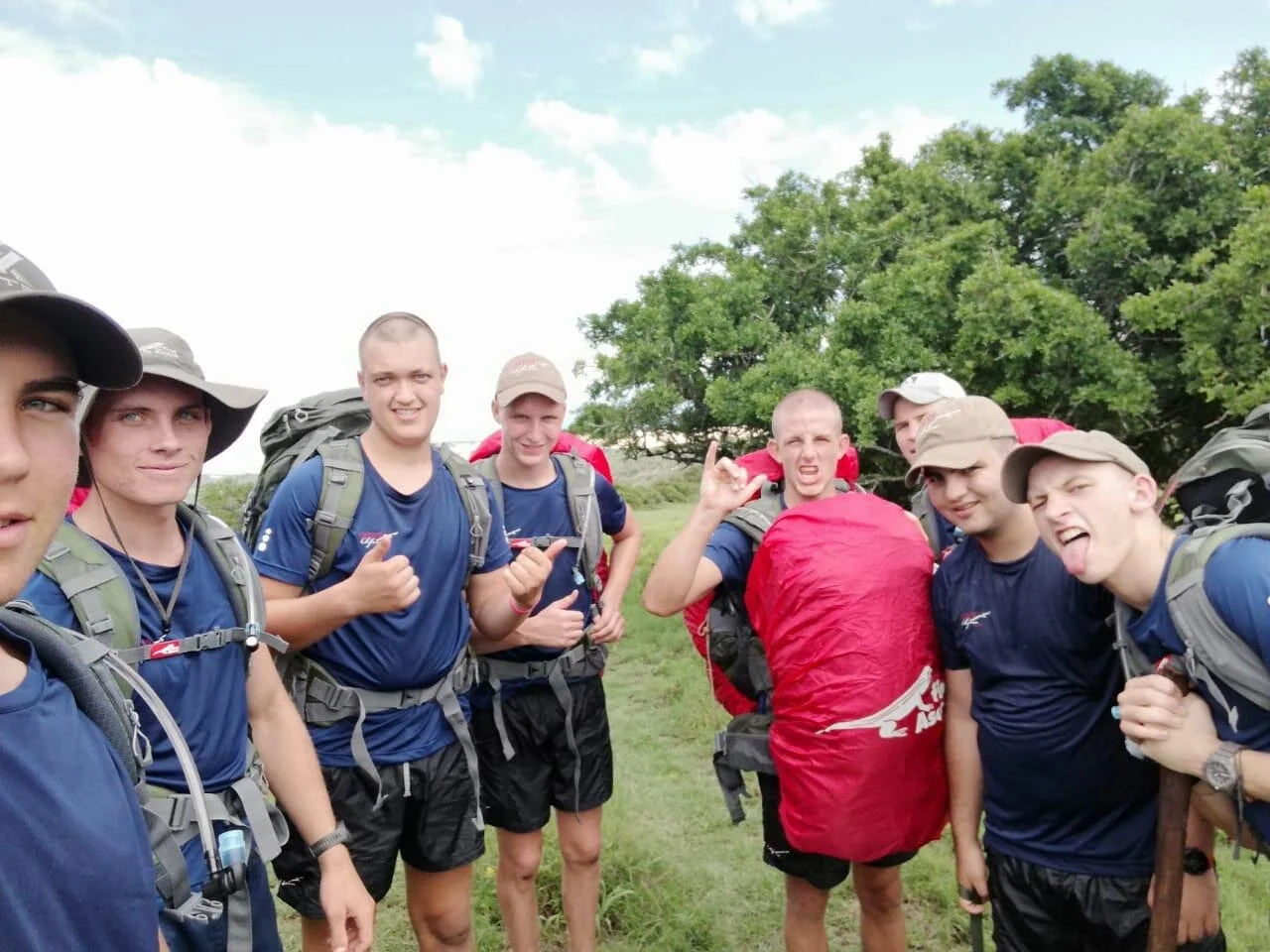
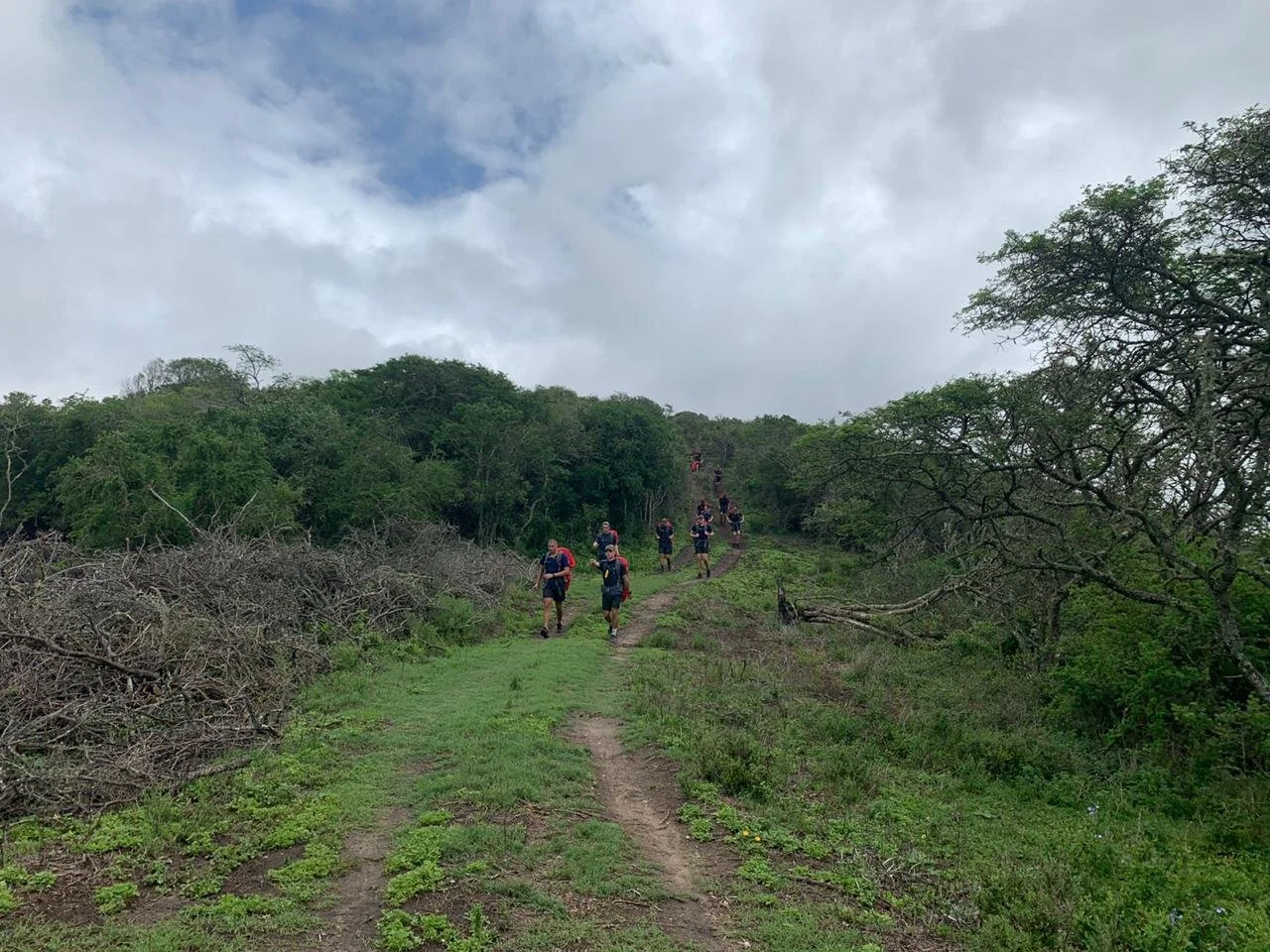
The view from the top was incredible, and we could see almost all of the path we took throughout the day. The walk back down Buffalo was cheerful for most of us, and was where we started feeling all of our aches and pains again: feet, legs, hips, shoulders, spirit, sanity, you name it.
The route took us through the Kaba Valley and back to the Quest campus. Group 5 and 3 tied for first, and walked back in Parade-fashion, whilst singing our "Quester's Song".
In total, the winners took 6hrs 45mins, walked over 25km and endured a kilometer of elevation gain.
All the boys finished and came through with dignity and pride of the feat we accomplished, as well as a much better idea of the farm and surroundings.